

Groundtruth,resolved.
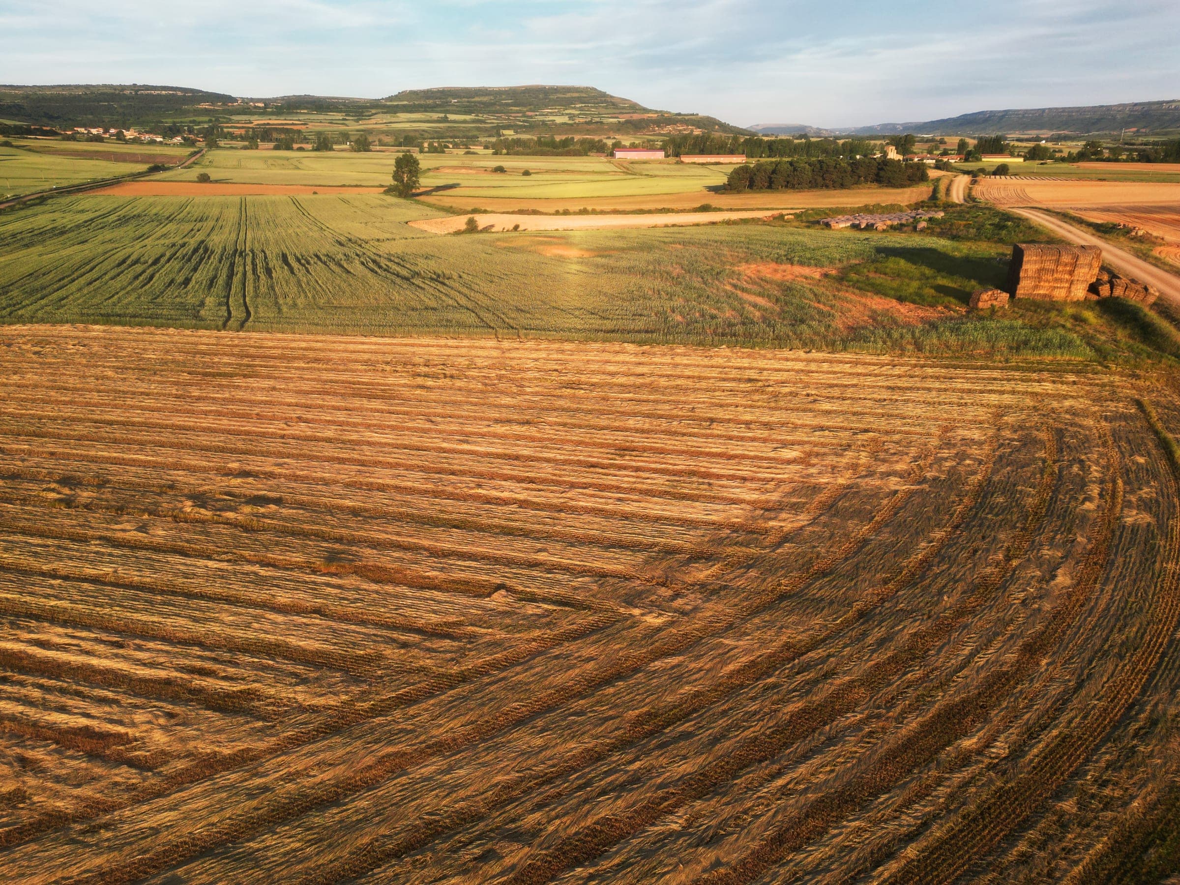
We fly it, process it, and hand it over. Orthomosaics, elevation models, point clouds and GIS layers — georeferenced, quality-checked, and delivered in the coordinate system your engineers already work in.
- GSD
- 2 cm/px
- Accuracy
- ±3 cm RMSE
- Turnaround
- 72 h
- Delivery
- Your CRS
One flight.
Four deliverables.
The same square kilometre, carried through the whole chain. Scroll it, or step through it yourself.
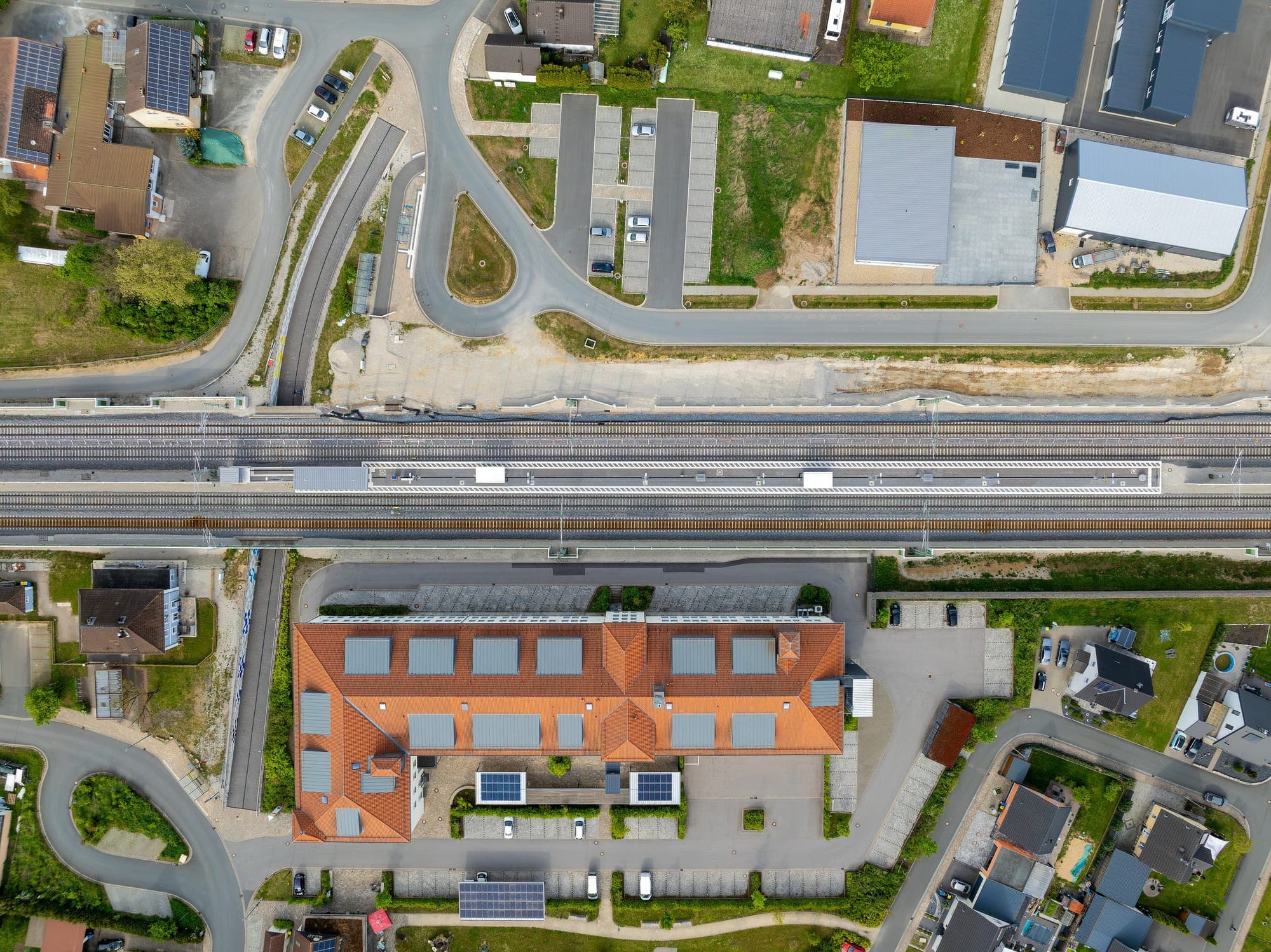
Flight lines planned to the parcel boundary. RTK-tagged frames, ground control laid before the props spin.
1,284 frames · 2.1 cm GSD · 78% overlapEvery layer,
from one team.
No handing your site off between a pilot, a processing bureau and a GIS contractor. Capture, processing and cartography sit under one roof — and one accountable delivery date.
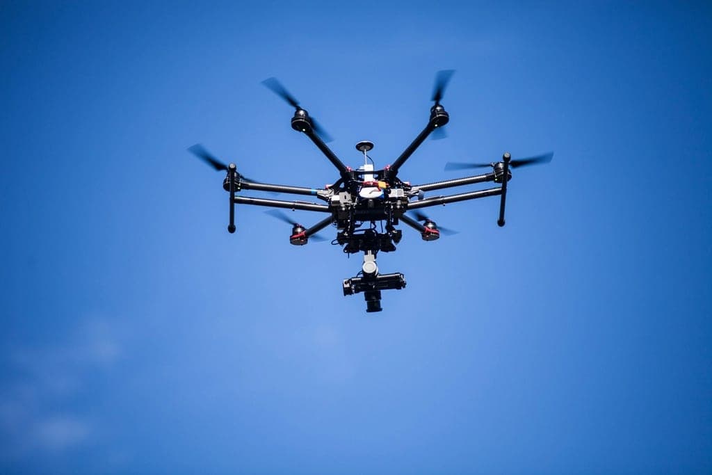 .JPG + POS
Drone survey & aerial capture
RTK/PPK-tagged flights with ground control, flown to a plan and to the regs.
- .TIF
Photogrammetry & orthomosaics
Seamless, distortion-free, georeferenced rasters down to centimetre GSD.
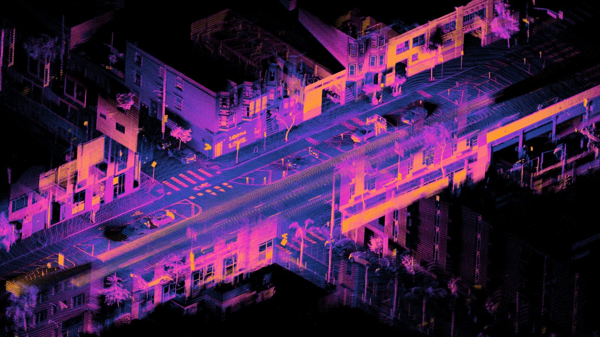 .LAS / .LAZ
LiDAR & point clouds
Dense returns that see through canopy, classified to ground and above.
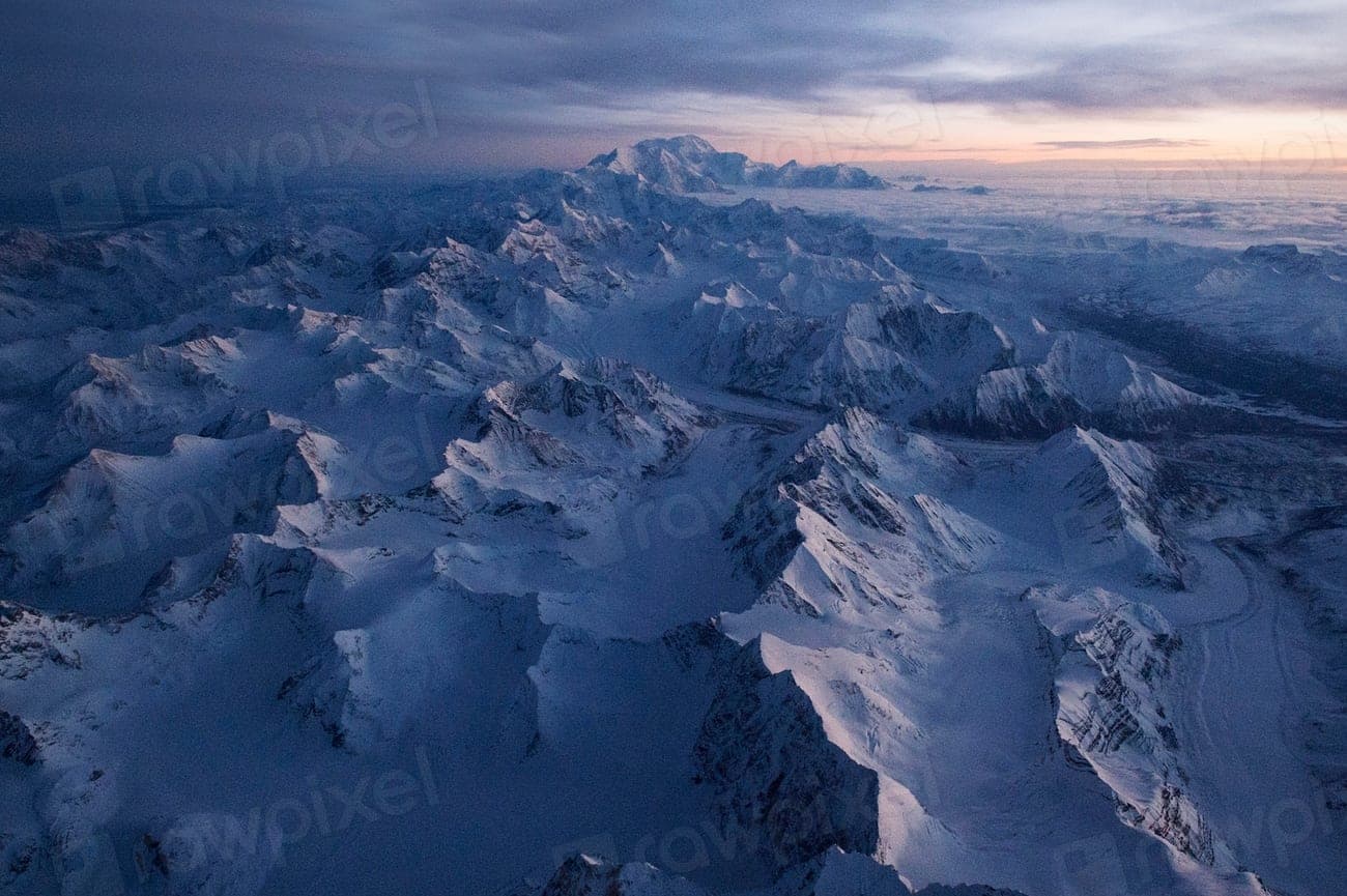 .TIF / .XYZ
Terrain models — DTM / DSM
Surface and bare-earth grids for volumes, drainage and cut-and-fill.
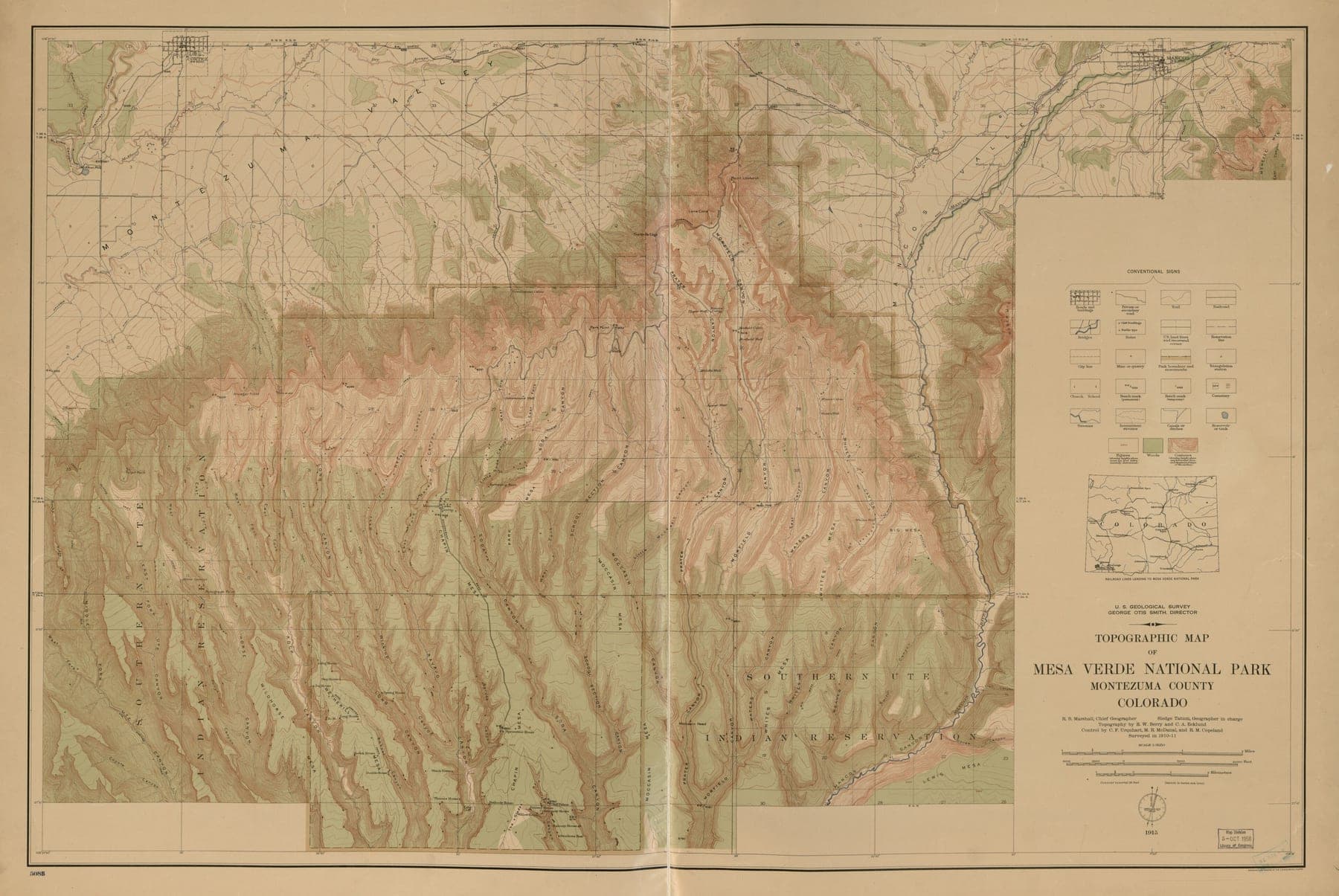 .SHP / .GEOJSON
GIS digitisation & conversion
Paper sheets, scans and legacy CAD brought into a clean, attributed schema.
- .DWG / .SHP
Cadastral & utility mapping
Parcel boundaries and network assets, captured and reconciled to record.
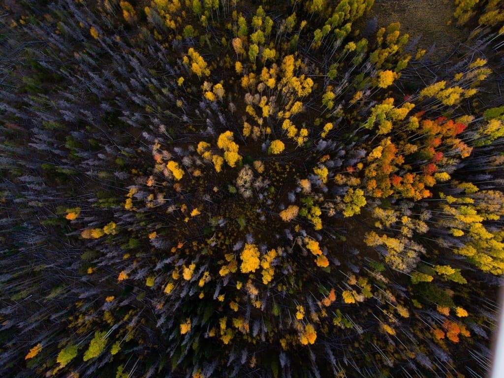 .TIF — NDVI
Remote sensing & change detection
Multispectral indices and epoch-to-epoch comparison over the same ground.
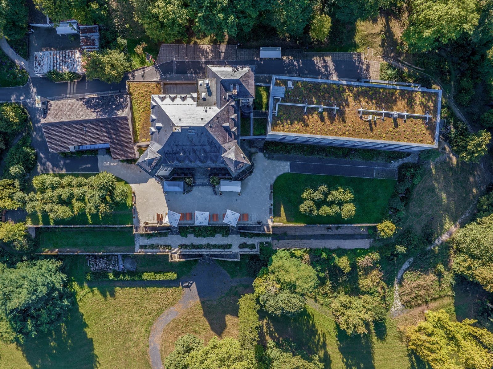 .OBJ / .GLB
3D models & digital twins
Textured meshes and tiled 3D scenes your team can walk through in-browser.
Ground we know
- Infrastructure & rail
- Power & utilities
- Mining & quarrying
- Agriculture
- Urban planning
- Forestry
- Water resources
- Renewables
Flown, processed, signed off.
- TODO — client
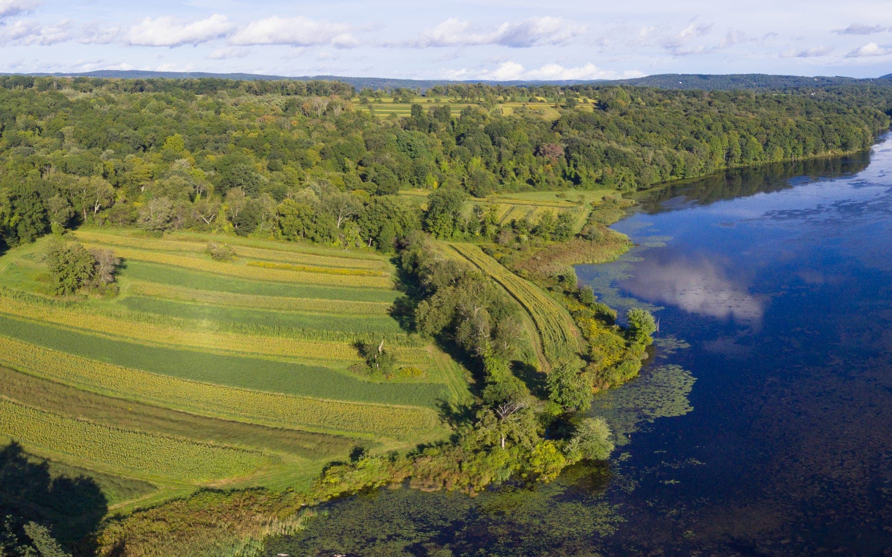
Reservoir catchment survey
Shoreline, catchment boundary and cropland encroachment mapped across two seasons to model storage loss.
- Area
- 980 ha
- GSD
- 3.4 cm/px
- Output
- Ortho + DSM + shoreline SHP
- Turnaround
- 9 days
- TODO — client
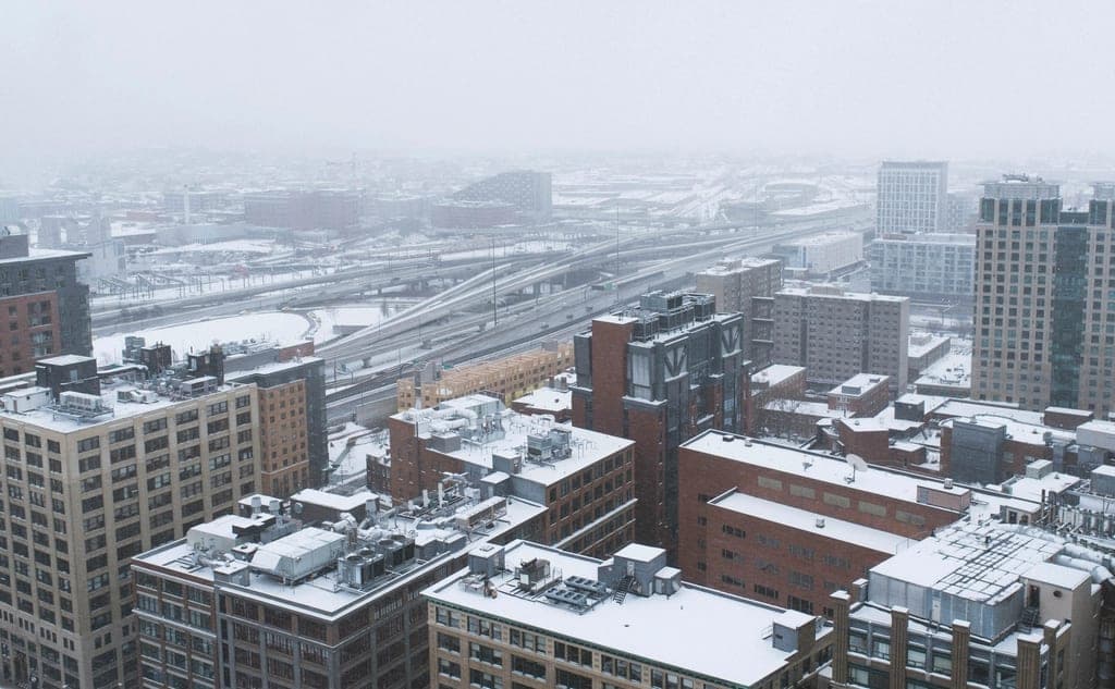
Winter city asset audit
Rooftop and drainage asset capture flown in a four-day weather window.
- Area
- 38 km²
- GSD
- 5 cm/px
- Output
- 3D mesh + roof condition
- Turnaround
- 3 weeks
- TODO — client
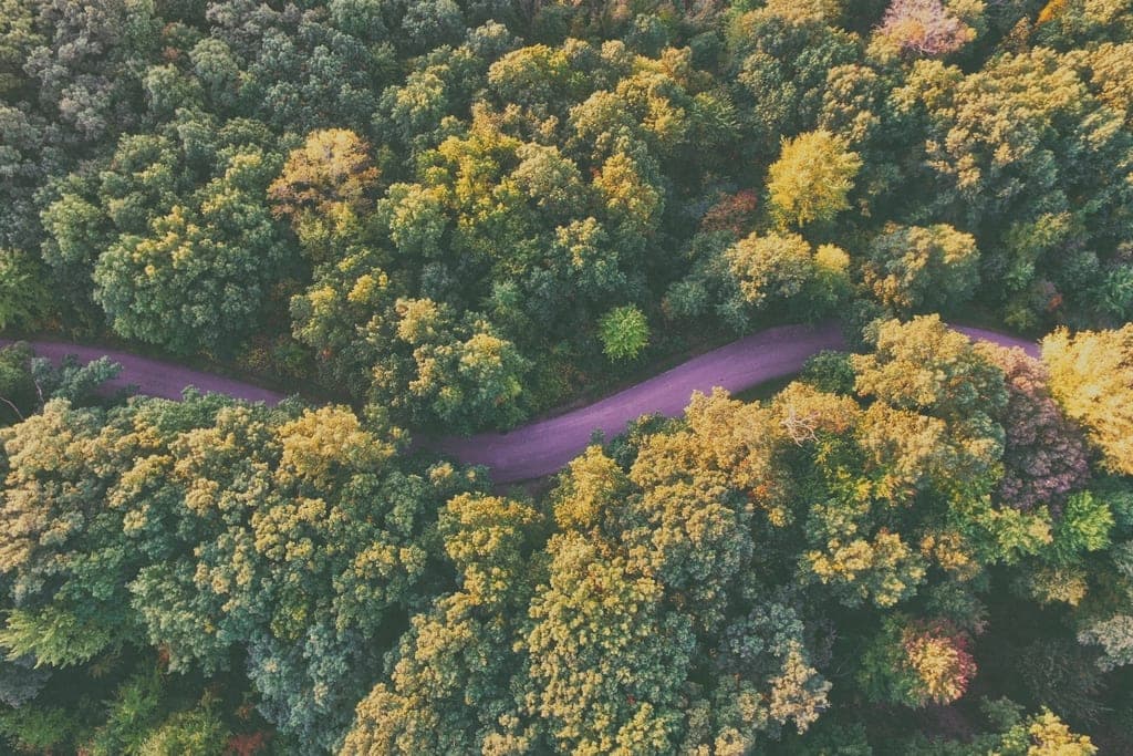
Forest corridor change detection
Two epochs, twelve months apart, differenced to flag encroachment along the right-of-way.
- Area
- 460 ha
- GSD
- 2.1 cm/px
- Output
- NDVI + canopy DSM
- Turnaround
- 6 days
No surprises between quote and handover.
- 01
Scope & flight plan
We agree the boundary, the accuracy you actually need, and the coordinate system you work in. Permissions and airspace get cleared before anything is promised.
Flight plan · accuracy spec - 02
Field capture
Ground control laid and surveyed, then flown. Overlap, altitude and sun angle are chosen for the deliverable, not for the photograph.
Raw frames · GCP log - 03
Processing & QC
Aerotriangulation, mosaicking, model generation. Every output is checked against independent check points before it leaves the building.
QC report · RMSE - 04
Delivery in your CRS
Layers arrive in the projection, schema and format your team already uses. We stay on the line through integration, not just to the invoice.
GeoTIFF · SHP · DWG · LAS
Tell us what needs mapping.
Send the boundary, the accuracy you need and the date it has to land. You'll get a scope and a fixed quote back — from someone who has flown the job, not a form.
- enquire@razter.in
- Phone
- +91 9344982078
- Office
- Razter GeospatialTODO — street addressChennai, Tamil Nadu, India
- Coverage
- Pan-India, with mobilisation across South & Southeast Asia.
- Support
- support@razter.in— for existing clients and delivery queries.