3D models & digital twins
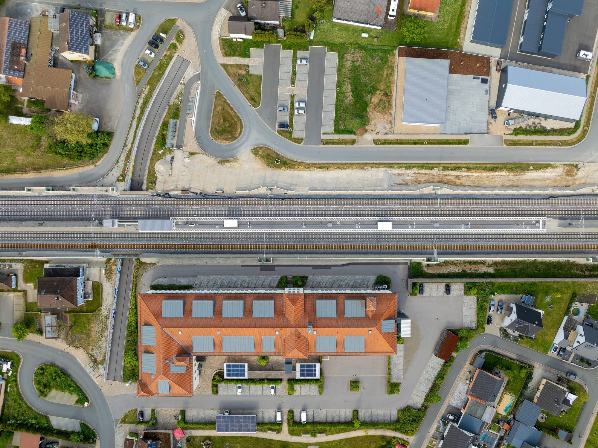
Textured 3D meshes and tiled digital twins your team can walk through in-browser, built from the same aerial capture as everything else on this page.
- Format
- .OBJ / .GLB / 3D Tiles
- Texture resolution
- Up to 2 cm/px texel
- Delivery
- Web-viewable tiled mesh
- Turnaround
- 7–12 days
Textured meshes and tiled 3D scenes your team can walk through in-browser.
Textured mesh (.OBJ/.GLB)
Photorealistic 3D mesh generated from dense image matching, textured from the same capture — not a generic extruded massing model.
Tiled web scene
Mesh tiled and optimised for browser walkthroughs, so stakeholders can explore the site without specialist software.
Building massing & clearance checks
Volumes and clearances measurable directly against the mesh, for planning or asset-condition review.
No surprises between quote and handover.
- 01
Capture planning for 3D
Oblique and nadir flight lines both planned — facades and rooftops need different viewing angles than a flat orthomosaic does.
Oblique + nadir flight plan - 02
Dense image matching
Overlapping frames matched into a dense point cloud, capturing vertical surfaces a nadir-only survey would miss.
Dense point cloud - 03
Mesh generation & texturing
The point cloud is meshed and textured from the source imagery for a photorealistic result.
Textured mesh - 04
Tiling & delivery
The mesh is tiled for web delivery, or exported to the format your BIM/GIS platform expects.
Web-tiled scene · OBJ/GLB export
Who this is for
- Urban planning
- Infrastructure & rail
- Mining & quarrying
- Renewables
Questions worth answering upfront.
- Do we need special software to view the model?
- No — the tiled web scene runs in a browser. Native OBJ/GLB exports are also provided if your team works in dedicated 3D or BIM software.
- How is this different from a DSM?
- A DSM is a 2.5D elevation grid — one height value per ground location. A textured mesh models true 3D geometry, including vertical faces like walls and overhangs that a DSM can't represent.
- Can the model be updated over time as a digital twin?
- Yes — repeat capture flown to the same flight geometry lets the mesh be refreshed on a schedule, so the model tracks the physical site rather than going stale.