Drone survey & aerial capture
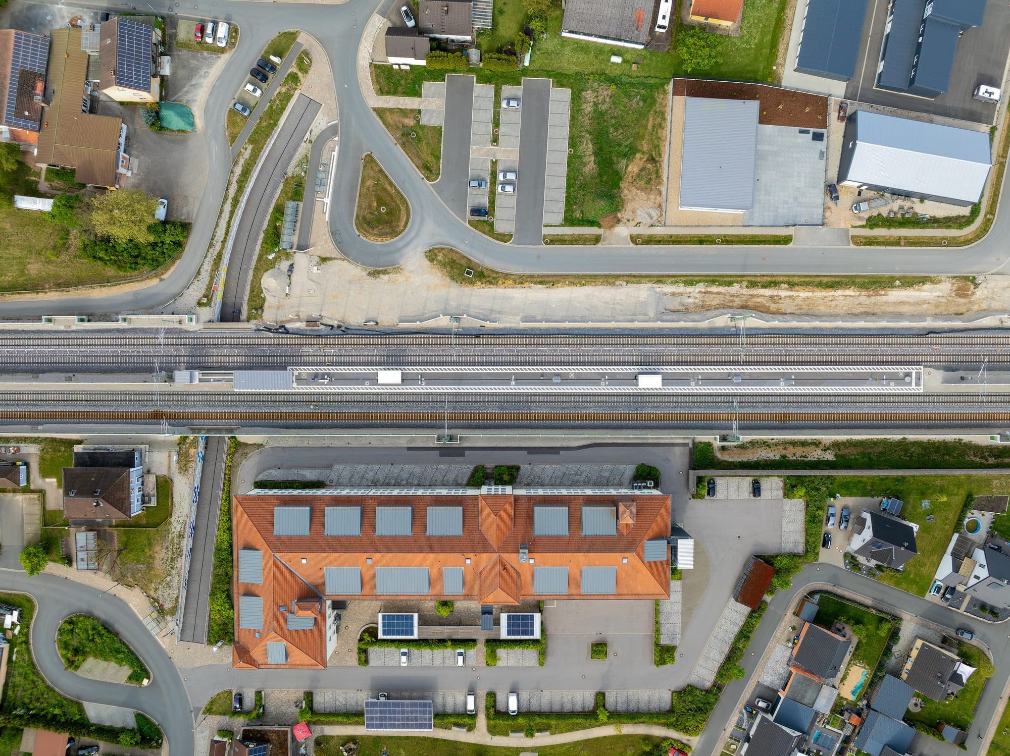
RTK/PPK-tagged aerial capture, flown to a plan and to the regs — the raw frames every other deliverable on this page starts from.
- Sensor
- RGB / multispectral
- GSD
- 1.5–5 cm/px
- Overlap
- 75–85%
- Turnaround
- 48–72 h to raw delivery
RTK/PPK-tagged flights with ground control, flown to a plan and to the regs.
Geotagged imagery (.JPG + POS)
Every frame carries its own position and orientation, ready for aerotriangulation.
Ground control
GCPs laid and surveyed before the flight, not fitted to the output afterward.
Flight & GCP log
Altitude, overlap, camera settings and control coordinates, so the capture is auditable, not just a photoset.
No surprises between quote and handover.
- 01
Scope & airspace check
Boundary, required GSD and any airspace permissions confirmed before a flight is booked.
Flight plan · permission status - 02
Ground control
GCPs placed and surveyed to the accuracy the deliverable needs, ahead of the sortie.
GCP coordinates - 03
Flight
Flown to the plan — altitude, overlap and sun angle chosen for the processing step downstream, not for a nice photo.
Raw geotagged frames - 04
QC & handover
Coverage and overlap checked against the plan before frames leave the building.
Frame set + flight log
Who this is for
- Infrastructure & rail
- Agriculture
- Mining & quarrying
- Urban planning
Questions worth answering upfront.
- What altitude do you fly at?
- Set by the GSD you need and local airspace limits — typically 80–120 m AGL for centimetre-class ground sampling distance, lower for denser urban or vegetated sites.
- Do you handle flight permissions?
- Yes — airspace and any required clearances are checked and secured before a flight is scheduled, not after.
- Can you fly the same site repeatedly for change tracking?
- Yes — flight lines and altitude are logged so repeat sorties fly the same geometry, which is what makes epoch-to-epoch comparison valid later.