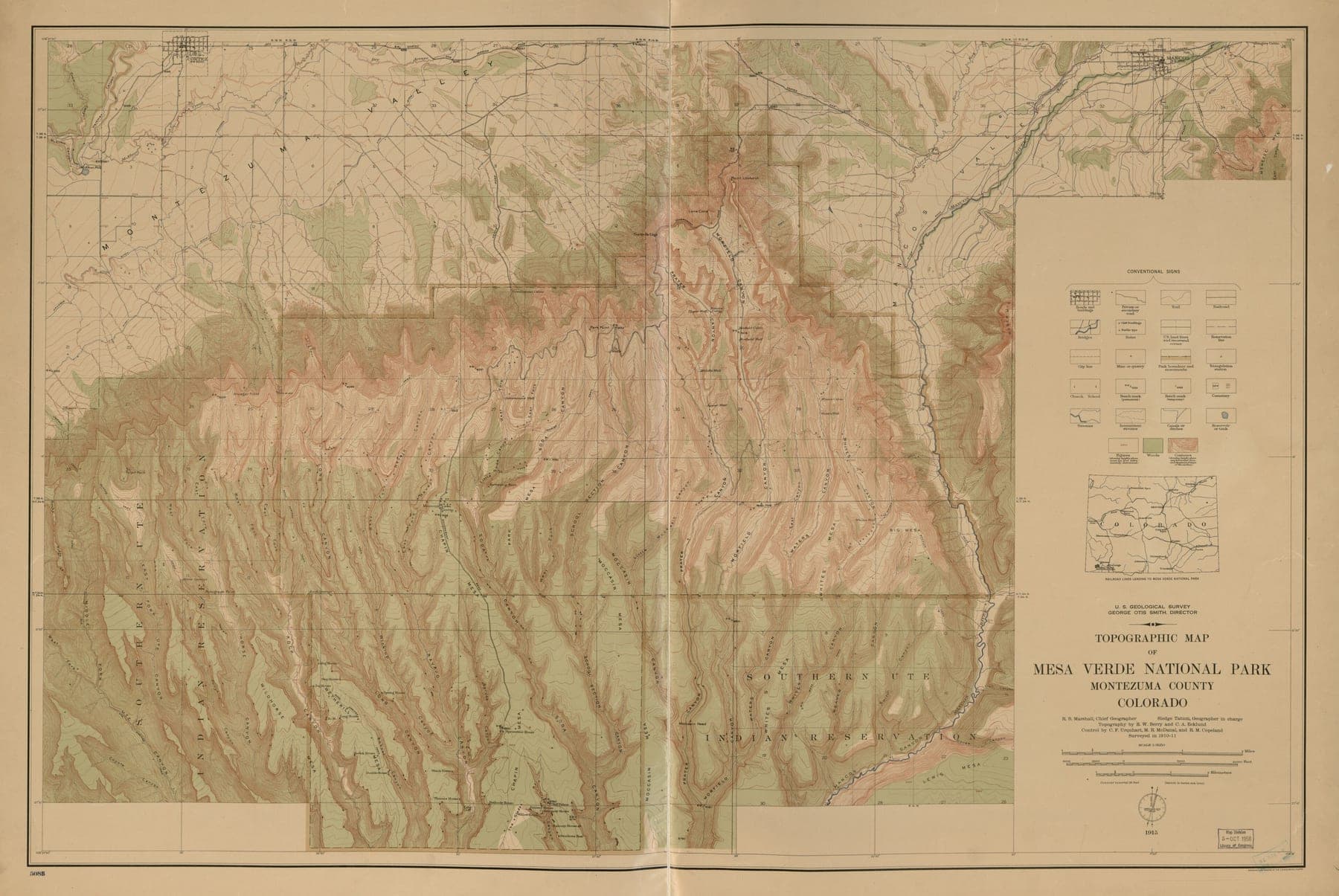
Cadastral & utility mapping
Parcel boundaries and network assets captured from the air and reconciled to record, not guessed from a satellite basemap.
- Output
- .DWG / .SHP
- Positional accuracy
- ±3–8 cm RMSE with GCPs
- Coverage
- Parcel & network scale
- Turnaround
- 7–14 days
Parcel boundaries and network assets, captured and reconciled to record.
Parcel boundary layers
Boundaries captured from orthophoto and reconciled against available record plans and survey marks.
Utility asset inventory
Poles, pits, lines and other visible network assets located and attributed.
Encroachment flags
Discrepancies between captured boundaries and record plans flagged for review, not silently resolved.
No surprises between quote and handover.
- 01
Record review
Available record plans, survey marks and existing cadastral data are gathered before capture, so the flight can be planned to cover every boundary in question.
Record index · coverage plan - 02
Capture & control
Orthomosaic flown with ground control at the accuracy the reconciliation needs.
Georeferenced orthomosaic - 03
Feature extraction
Parcel boundaries and visible utility assets digitised off the orthomosaic and cross-checked against record plans.
Draft boundary & asset layers - 04
Reconciliation & handover
Discrepancies between captured and record boundaries are flagged explicitly rather than adjusted away.
Final layers · discrepancy report
Who this is for
- Power & utilities
- Urban planning
- Infrastructure & rail
- Agriculture
Questions worth answering upfront.
- Is this a substitute for a legal cadastral survey?
- No — this maps visible boundaries and assets from aerial data for planning, asset management and encroachment review. Legal boundary determination stays with a licensed cadastral surveyor and the record of title.
- What happens when the captured boundary doesn't match the record plan?
- The discrepancy is flagged in the deliverable rather than quietly reconciled one way or the other — that decision belongs to whoever owns the record, not to the mapping.
- Can you map underground utilities?
- Only what's visible or has surface markers (pits, valve covers, poles) — this is an aerial and surface capture service, not a ground-penetrating radar survey.