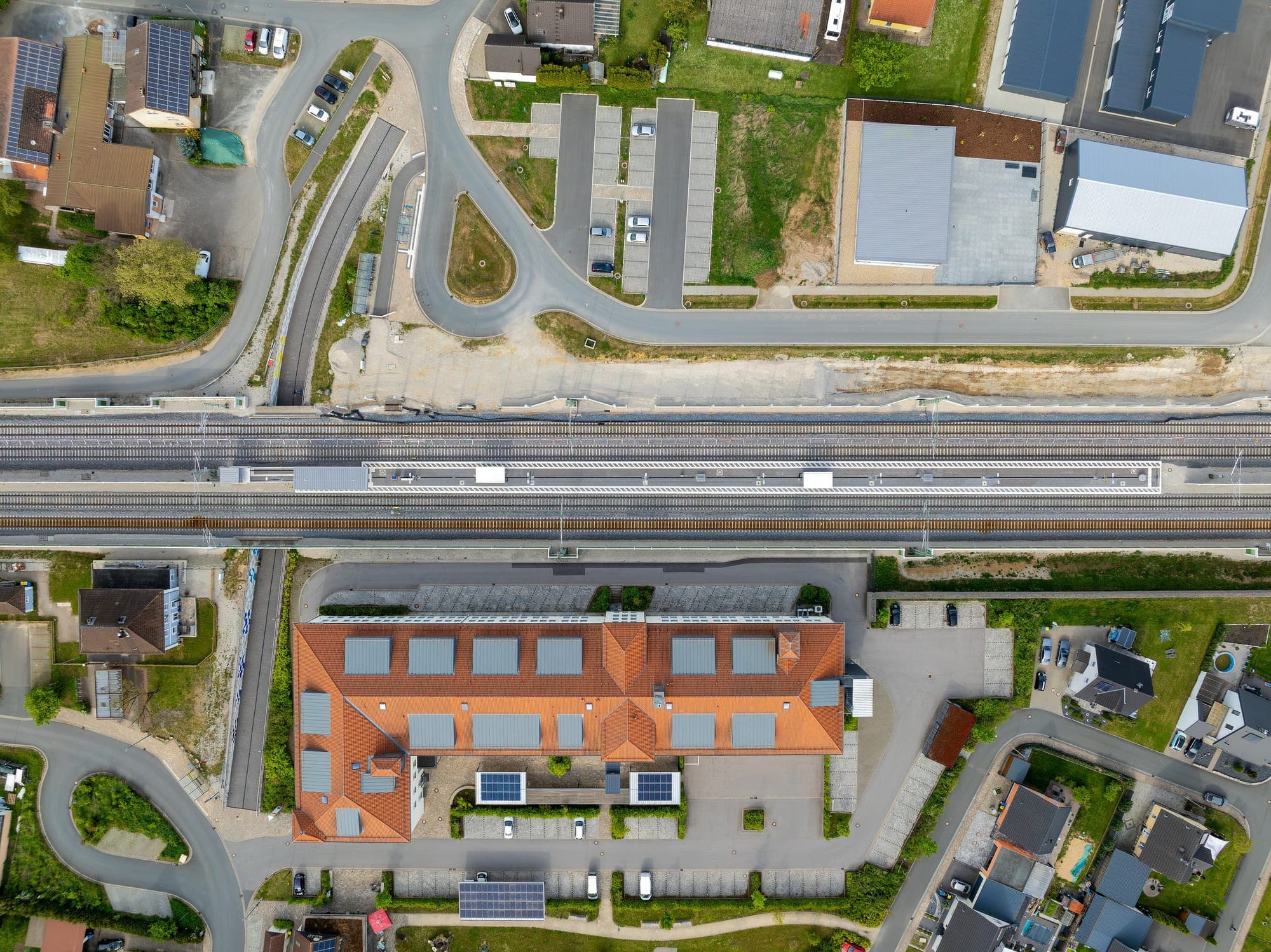
Terrain models — DTM / DSM
Bare-earth and surface elevation grids built for volumes, drainage and cut-and-fill — not a coloured hillshade for a slide deck.
- Posting
- 5–25 cm grid
- Format
- .TIF / .XYZ
- Vertical accuracy
- ±3–5 cm RMSE
- Turnaround
- 5–9 days
Surface and bare-earth grids for volumes, drainage and cut-and-fill.
DSM (surface model)
First-return surface — canopy tops, roofs, everything the sensor saw first.
DTM (bare-earth model)
Ground-only surface with vegetation and structures removed, the input for drainage and cut-and-fill.
Volume & contour outputs
Cut/fill volumes against a design surface, or contour lines at the interval your drawings use.
No surprises between quote and handover.
- 01
Source data selection
Photogrammetric or LiDAR-derived elevation, chosen by whether canopy or dense vegetation needs to be seen through.
Source dataset - 02
Surface generation
DSM built directly from the point cloud or dense image matching; DTM built by filtering non-ground returns before interpolation.
DSM + DTM grids - 03
Volume & derivative calculation
Cut/fill against a design surface, drainage flow paths, or contours generated to the interval requested.
Volume report · contours - 04
Independent check
Surfaces checked against surveyed check points not used to build the model.
RMSE report
Who this is for
- Mining & quarrying
- Infrastructure & rail
- Water resources
- Urban planning
Questions worth answering upfront.
- What's the difference between a DSM and a DTM?
- A DSM includes everything the sensor sees first — rooftops, tree canopy, power lines. A DTM strips all of that away to model bare ground only. Drainage and earthworks need a DTM; visibility and clearance studies often need a DSM.
- Can you calculate stockpile or excavation volumes directly?
- Yes — volumes are computed against a reference surface (a previous epoch, or a design surface you provide) and delivered as a report alongside the model.
- What grid resolution should we ask for?
- Matched to what the volumes or drainage model actually need — a 25 cm posting is plenty for broad earthworks; tighter cut-and-fill tolerances need a finer grid.