

What we deliver
Every layer, from one team.
Capture, processing and cartography sit under one roof. Pick a service below for the full spec, process and turnaround — or send us the boundary and let us scope it.
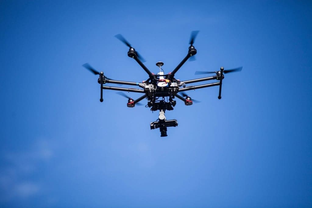 .JPG + POS
Drone survey & aerial capture
RTK/PPK-tagged flights with ground control, flown to a plan and to the regs.
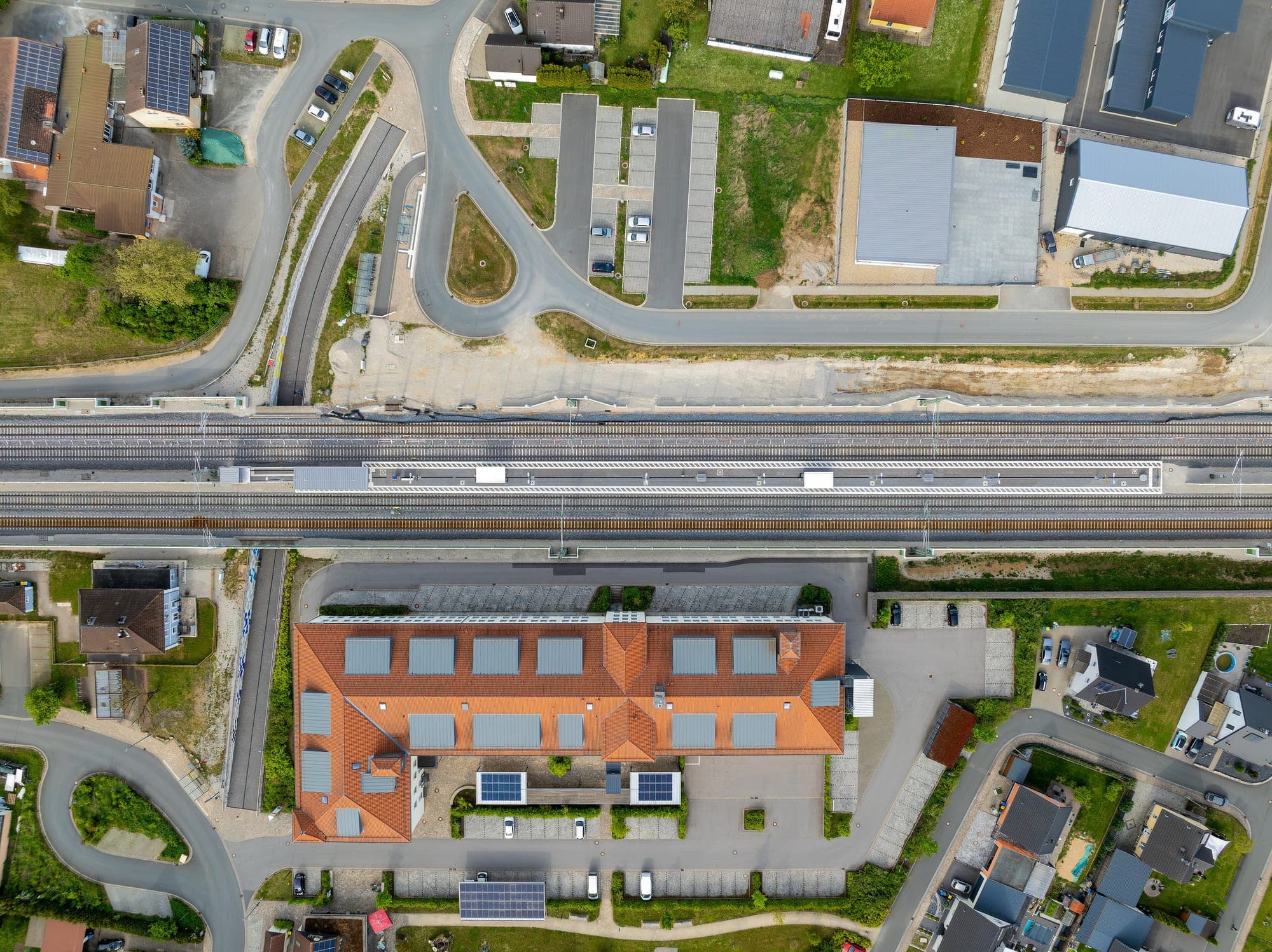 .TIF
.TIFPhotogrammetry & orthomosaics
Seamless, distortion-free, georeferenced rasters down to centimetre GSD.
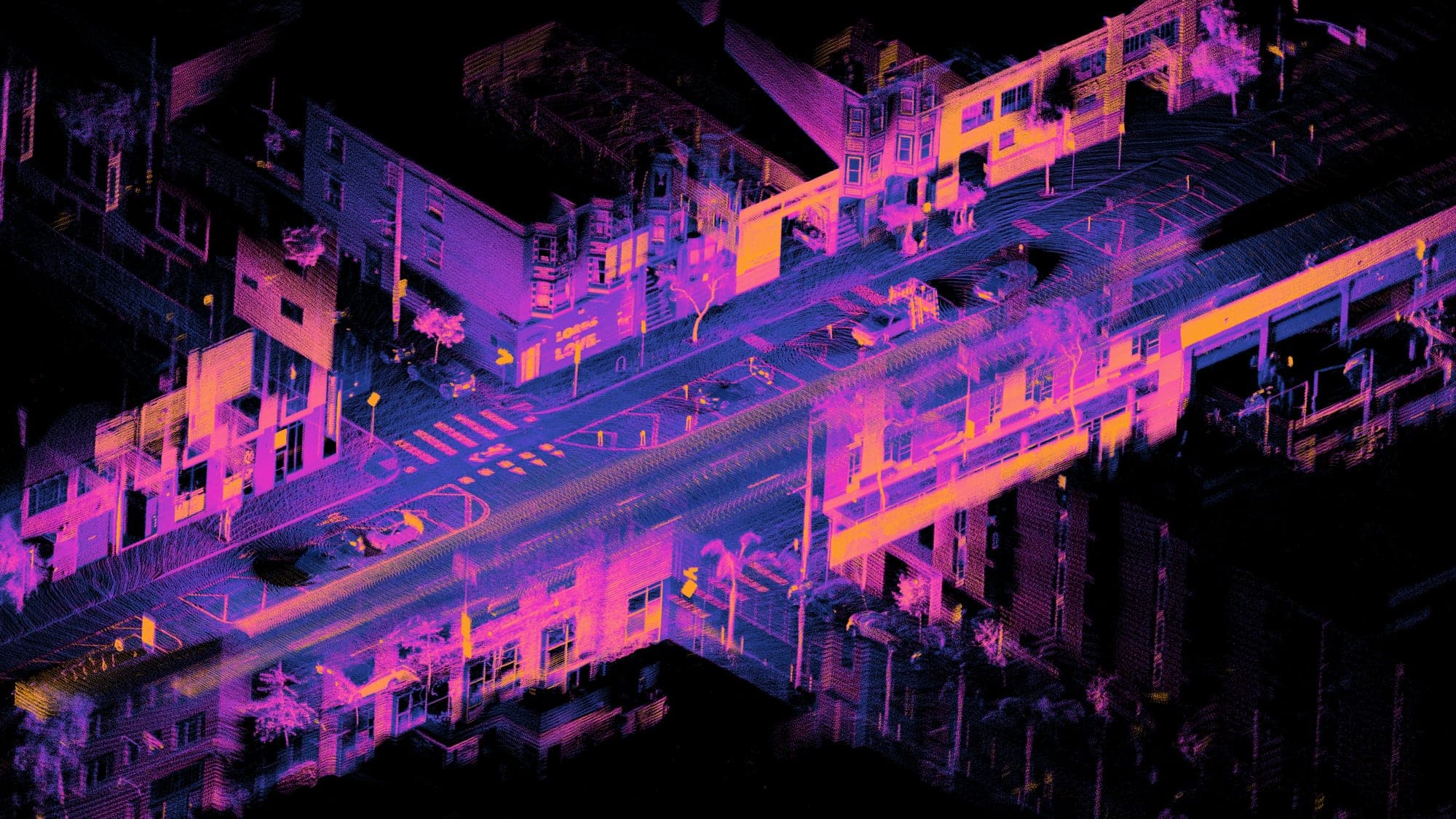 .LAS / .LAZ
LiDAR & point clouds
Dense returns that see through canopy, classified to ground and above.
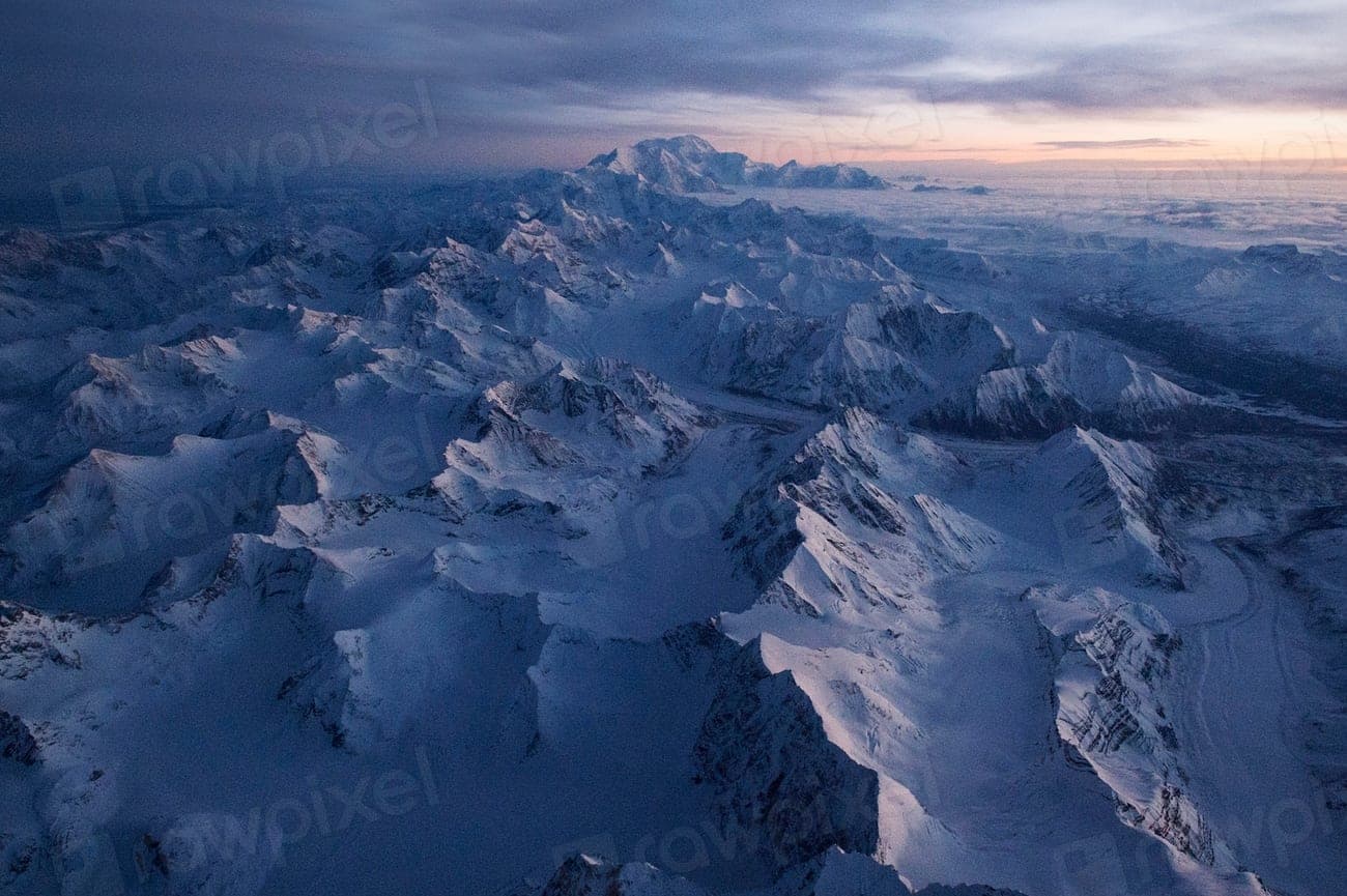 .TIF / .XYZ
Terrain models — DTM / DSM
Surface and bare-earth grids for volumes, drainage and cut-and-fill.
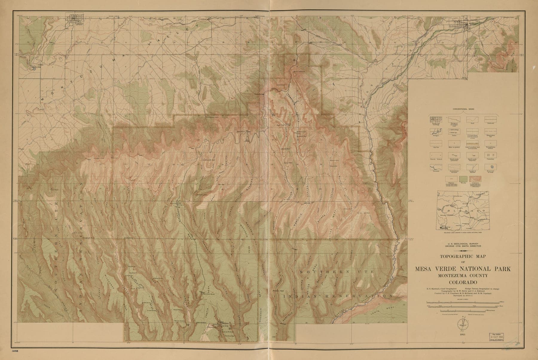 .SHP / .GEOJSON
GIS digitisation & conversion
Paper sheets, scans and legacy CAD brought into a clean, attributed schema.
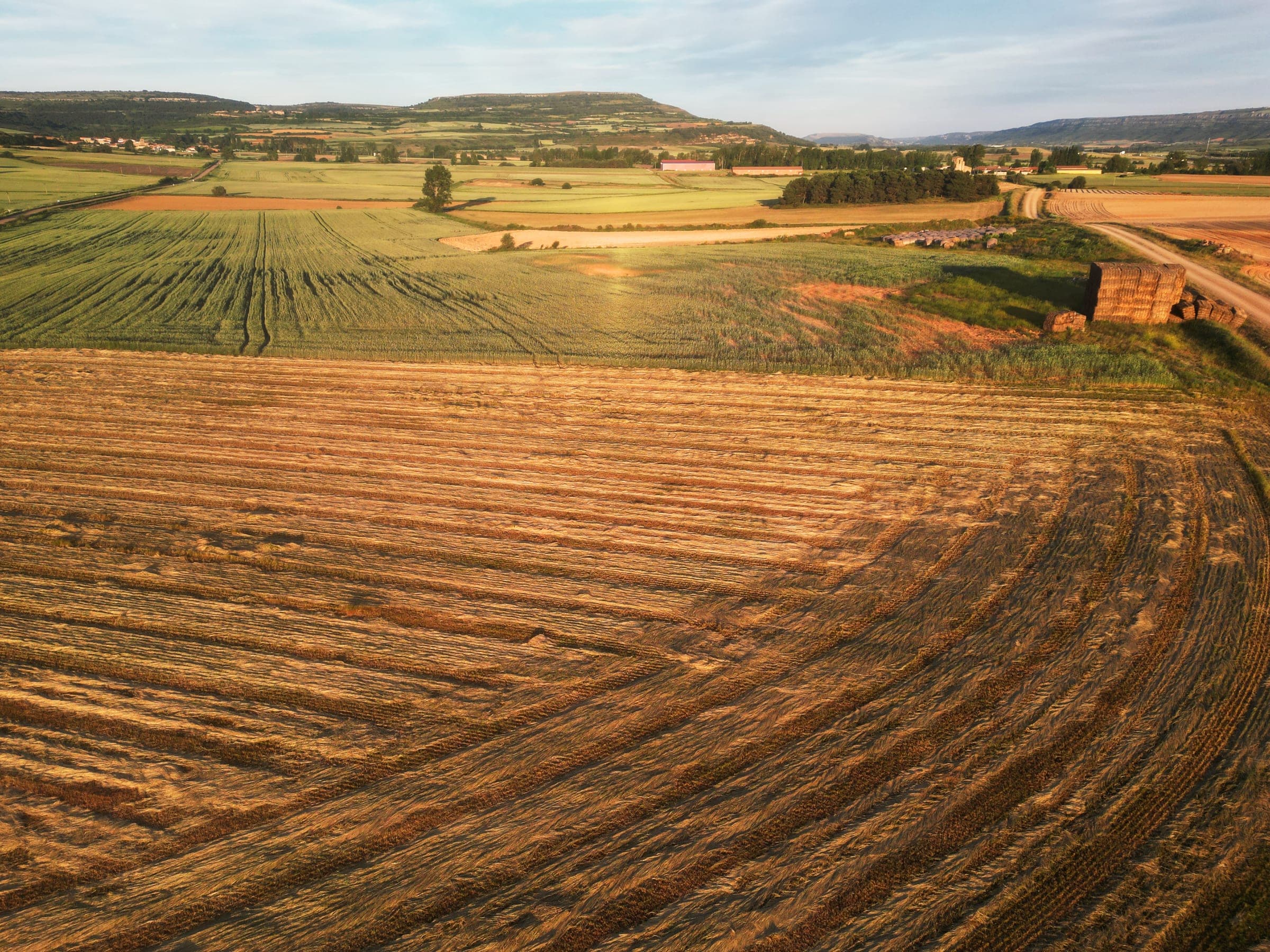 .DWG / .SHP
Cadastral & utility mapping
Parcel boundaries and network assets, captured and reconciled to record.
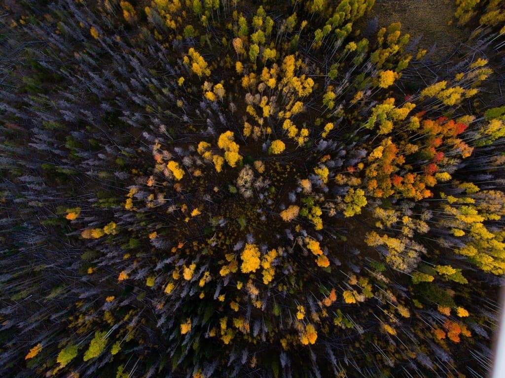 .TIF — NDVI
Remote sensing & change detection
Multispectral indices and epoch-to-epoch comparison over the same ground.
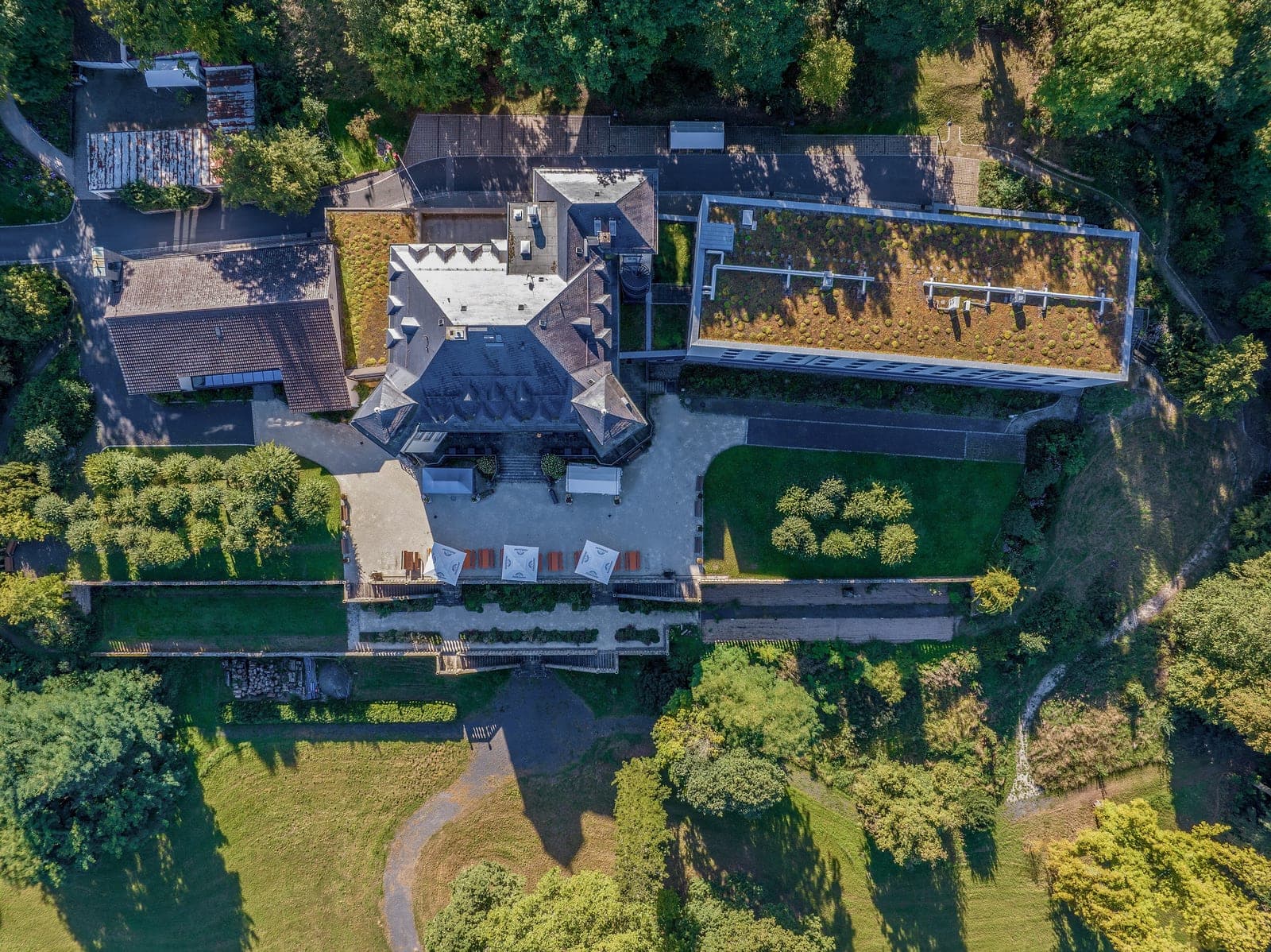 .OBJ / .GLB
3D models & digital twins
Textured meshes and tiled 3D scenes your team can walk through in-browser.